Remote Sensing

Remote sensing is the set of techniques that makes it possible to obtain information on elements on the surface of the earth, carried out by distant or remote sensors. S2i is capable of combining the acquisition of data via satellite and UAVs (drones).

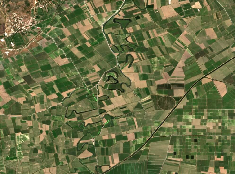
Satellite images obtained from sensors on satellites orbiting the planet are a pivotal part of the digital revolution that farming is going through. They allow real-time decisions to be made at a global scale and at local level. Farmers can grow more with less, optimizing inputs, reducing nutrient run-off and efficiently scaling farming practices.

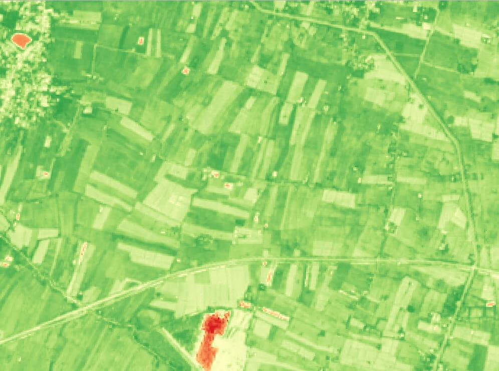
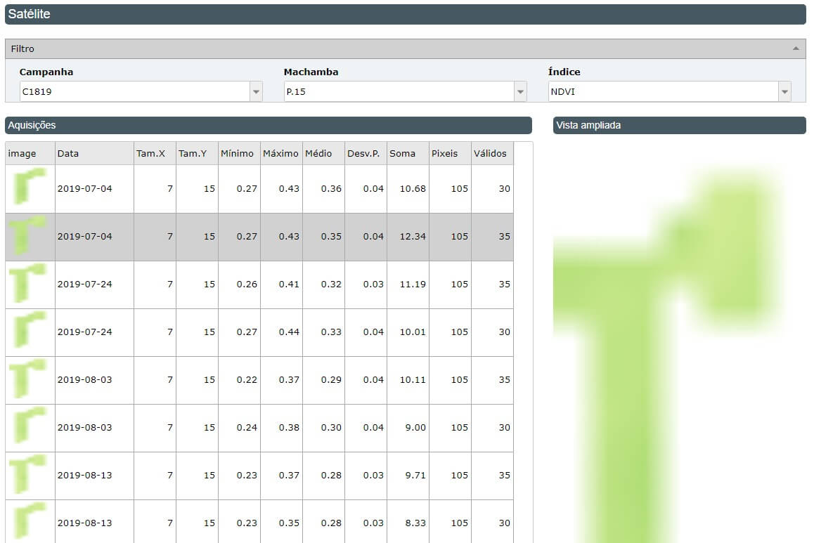
Using this technology, anomalies can be detected both in the plants and in the soil and water resources, calculating different vegetation indices which are the main plant health indicators in a plantation. These indices can be used to carry out different analyses which can help the farmer make the best decisions for the crop.

Vegetation indices are algorithms developed to analyze satellite images that identify crop variations, providing different kinds of information, such as measuring crop vigor, controlling water stress and scheduling or monitoring the application of inputs. This makes it possible to eliminate potential threats quickly.

S2i has the following vegetation indices

NDVI

Normalized Difference Vegatation Index

The NDVI is obtained by finding the difference between near-infrared (NIR) and red (RED) reflectance divided by their sum. The value represents the presence of vegetation – the higher the value, the more vegetation in the area.

NDWI

Normalized Difference Water Index

This index is obtained through remote sensing which estimates leaf water content at canopy level.

NDRE

Normalized Difference Red Edge

This is similar to NDVI, but it also measures the presence of healthy vegetation and biomass, going beyond the canopy.

GVMI

Global Vegetation Moisture Index

Index calculated to get information on plant water quickly and reliably.

NDDI

Normalized Difference Drought Index

This is a superior drought indicator for different vegetation which has obtained favorable results for detecting drought conditions in comparison with other indices.

S2i Software

© Copyright S2i Software. All Rights Reserved.