

Geographic Information Systems (GIS) are an extremely valuable tool in precision farming. Using this technology, farmers have the opportunity to map current and future changes in precipitation, temperature, crop productivity, plant health and other factors. GIS also makes it possible to use GPS-based applications through smart machines, with the aim of optimizing the application of fertilizer and pesticides, for example. This way, the farmer can save time, effort and money, dealing only with areas marked out for that purpose.
Geographic Information Systems
A Geographic Information System (GIS) makes it possible to view, analyze and interpret data in order to understand spatial relationships, patterns and trends.
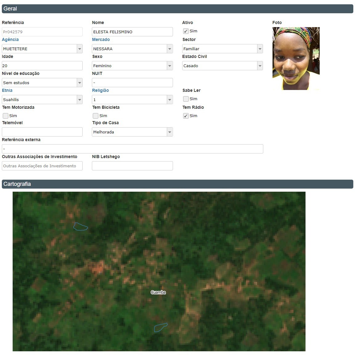
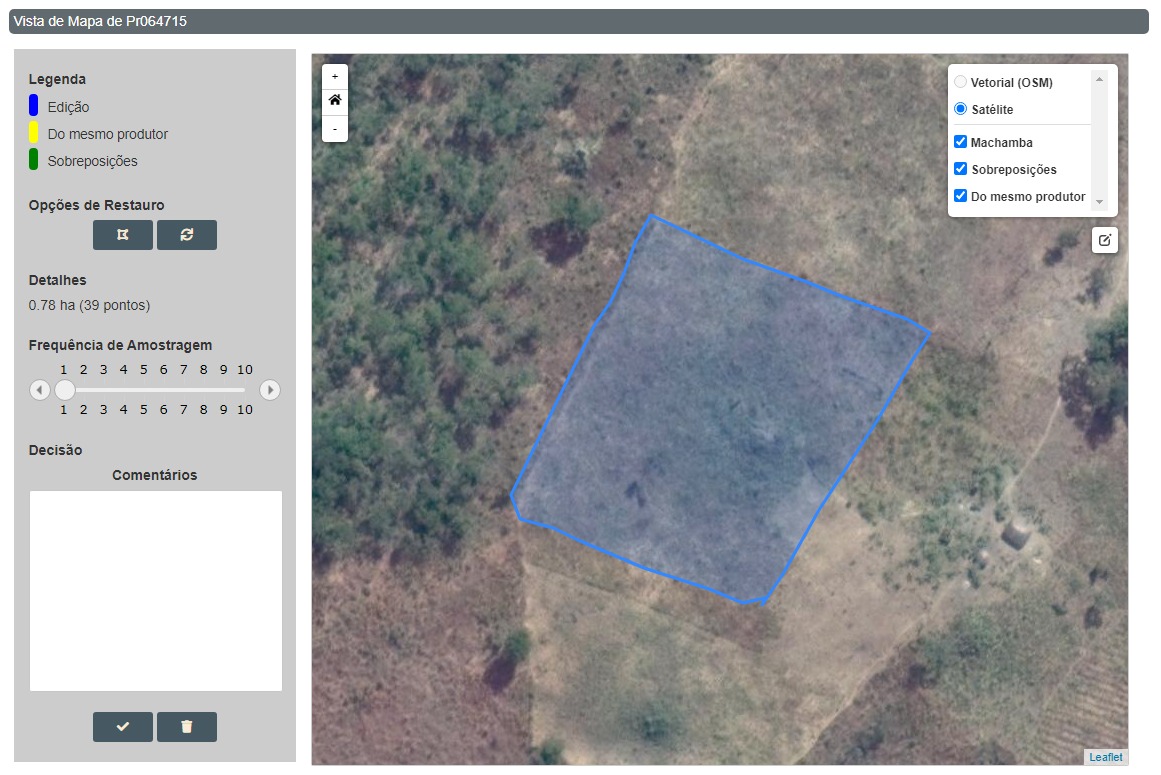

GIS technology is intrinsically linked to the Remote Sensing model as the data from satellites, drones and probes can be downloaded to this tool and analyzed. Therefore, it provides valuable support for farmers.
The GIS tool also makes it possible to have spatial visualization, base map preparation and thematic and analytic cartography.
The symbiosis generated in the acquisition of data by S2i and their processing in a GIS environment provides its users with the best decision-making tools, serving as a window to the future, predicting when to act and assuring an assertive tool for defining how to act.