Farm Record

Its aim is to learn about the farmers and their farms, facilitating data collection, whether biographical or geographic, and allowing the fieldbook to be updated and scanned.

The modernization of farming is inevitable, given the need for greater productivity, less waste and better marketing. To achieve this, different technologies, like the Internet of Things (IoT), are used, making it possible to connect distinct realities, such as farmers, plots, buyers, sensors and smartphones.

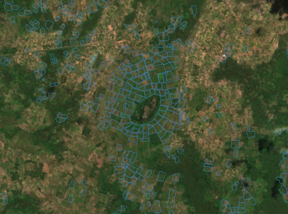
Data collection is typically manual and has shortcomings. The lack of literacy of some farmers, as well as collection errors, demand an efficient solution that is integrated and easy to handle. Thus, S2i will allow these gaps to be bridged through digital biographical records and the acquisition of georeferenced data on the plot. This module has a particular focus if it is used for Contract Farming, as these are issues these incentives come up against frequently.

The digital fieldbook is essential as it has all the information about the crop. It acts as insurance because it makes it possible to check how the farmer acted in different situations, for example, if agrochemical inputs were used properly or if the weather conditions affected the crops. The digital fieldbook thus lowers costs and simplifies the process for the companies that will acquire the product.

The farmers record all their obligations and commitments in the fieldbook with production in mind. The records to be kept in the fieldbook are the identification of plots, the technological status of the crop, the observations made in relation to the main enemies of the crop, the dates of the treatments carried out and the plant protection products used, as well as data on the production system, particularly pruning, watering, fertilizing and harvesting.

Apart from the farmer’s digital information in the fieldbook, by using field collection by GPS signal, S2i makes it possible to acquire the area and exact location of each plot. Along with the Remote Sensing and GIS modules, S2i also provides a wide range of solutions to help assess the values of projections calculated for production, productivity and profit. In addition, it makes it possible to monitor changes in the climate and soil in the area and alerts for pests that could be affecting the region.

S2i Software

© Copyright S2i Software. All Rights Reserved.